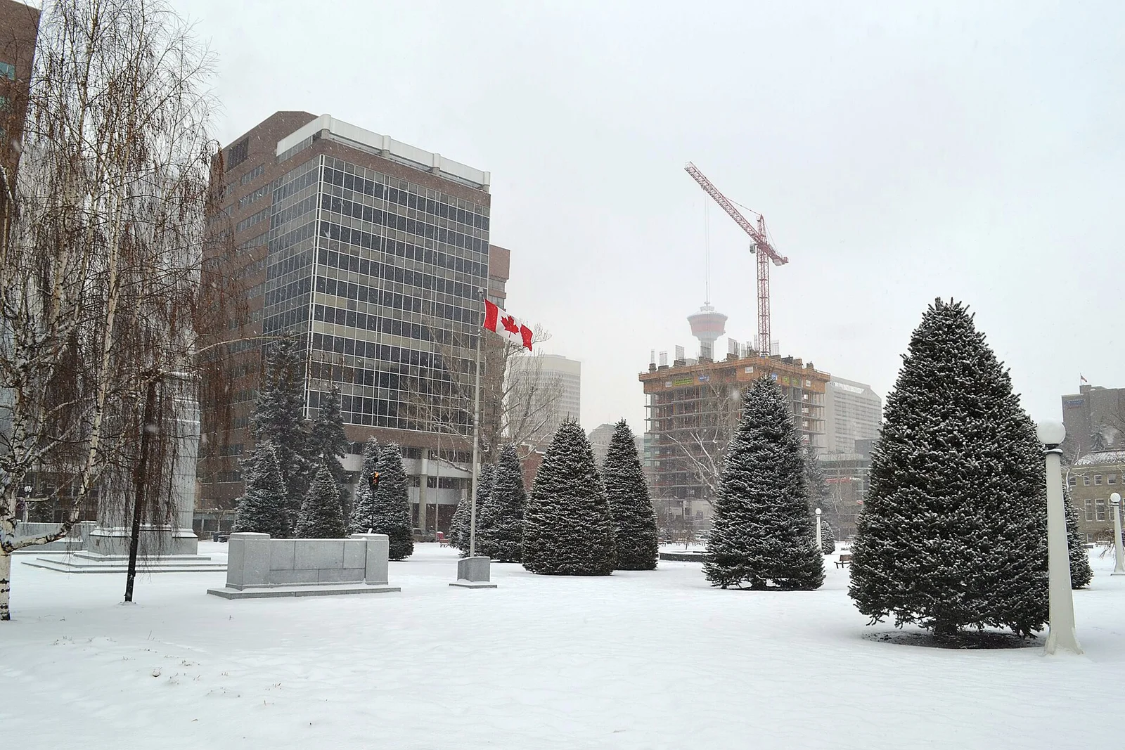
Southern Alberta woke up Tuesday to a different season. Environment and Climate Change Canada (EC) issued a snowfall warning early Tuesday, November 17, for much of the south of the province, calling for snowfall totals of 15 to 20 centimetres, with Calgary on the lower end of that range and favoured locations in line for more.
In the warning, EC said more favoured locations such as the foothills, the Cypress Hills and rural areas of southern Alberta near Brooks, Medicine Hat and Lethbridge may see snowfall amounts near 25 centimetres. The agency said it has high confidence in the forecast, with snow expected to be heavy at times and spreading north and east throughout the day before tapering off Wednesday evening.
For the Bow Valley, EC issued the warning at 10:46 a.m. local time Tuesday for the Municipal District of Bighorn near Canmore, Exshaw and Ghost Lake. EC meteorologist Steve Boily told Bow Valley Insider the snow should reach the Bow Valley and Kananaskis late Tuesday afternoon or early evening, with totals of 15 to 25 centimetres. Boily said it should last roughly 24 hours before tapering off Wednesday evening.
The system is moving up from Montana, tracking along the international border, and it is not a clean, dry snow. Rain is expected to mix in at times, which forecasters say will influence how much actually accumulates. The Weather Network, in its own forecast, put Calgary at 15 to 20 centimetres through Tuesday and into Wednesday, flagged higher totals around the Cypress Hills, and said up to 30 centimetres is possible along the Trans-Canada Highway — above EC's warning range, and a reminder of how much terrain can change the totals over a short distance.
What EC is most direct about is the driving. The agency warns of moderate impacts and says travel will likely be challenging, with roads and walkways difficult to navigate and a potentially significant impact on rush-hour traffic. Its advice is plain: prepare for quickly changing and deteriorating conditions, and if driving, turn on your lights, slow down and maintain a safe following distance. The Weather Network likewise flagged impacts along the QE2, Highway 3 and the Trans-Canada Highway between Gleichen and Medicine Hat, especially during the evening rush. Drivers can check conditions through 511 Alberta.
The warning is not the whole map. North of Calgary, a special weather statement is in effect: EC says accumulating snow there will begin Tuesday afternoon or evening, bringing 5 to 10 centimetres before tapering off later Wednesday. To the east, southwest Saskatchewan is under its own special weather statement for what EC calls its first significant snowfall of the season. Forecasters there expect snow to begin accumulating on Wednesday, after an area of precipitation moves in Tuesday evening, with 5 to 15 centimetres likely for most areas, higher amounts possible in the Cypress Hills, and snow heavy at times before tapering off Wednesday night and ending by Thursday morning.
And this snow is expected to stay. Boily said colder temperatures follow across the Prairies, hovering near freezing Wednesday, a high near -1 C Thursday, and weekend highs dropping toward -7 C with overnight lows near -13 C in the Bow Valley — the snow, he said, should stay on the ground at least a week.
Why it matters: this is the kind of early-season system that catches a region mid-switch — commutes planned for fall meeting a full winter warning in a day. The timing is the hazard: heavy snow building through Tuesday, a difficult evening commute, and the worst travel impacts landing before the system tapers off Wednesday evening. Anyone driving in southern Alberta or southwest Saskatchewan through Wednesday should check EC's alerts and 511 Alberta before travelling, and give the drive more time than it took on Monday.